Independent preliminary due diligence

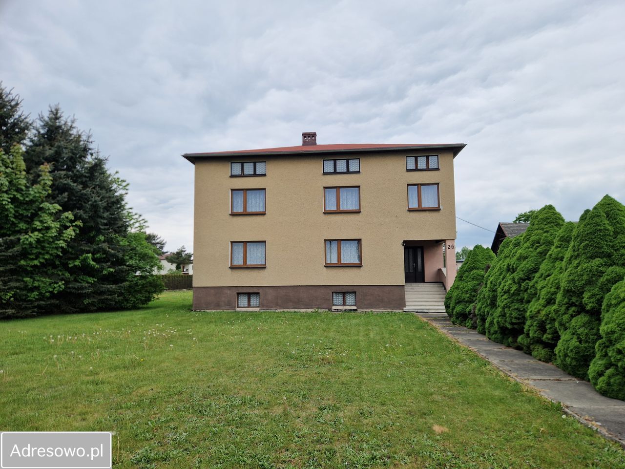
Dąbrowskiego 26
Łąka, Poland

Exact official street name: Jarosława Dąbrowskiego. Prepared 13 August 2026.

House-level address match Parcel 5159 TERYT 241005_5.0005.5159 About 1,049 m²
\n\n
PAUSE BEFORE PAYING A DEPOSIT

The basic location data looks consistent. The parcel is identified and a local plan exists.

But the most important purchase evidence is still missing: the land register, exact planning symbol, building legality, technical condition and utility documents.

Next decision: visit the house, collect the five answers below, then let a notary and building inspector check the documents.

Address matchHigh confidence
Parcel area~1,049 m²
Approx. dimensions47 × 35 m
Mapped flood zoneNo hit
Land registerNot checked

Take this list to the viewing

The 5 questions that matter most

Can I see the full land register number and seller's ownership document?

Ask for:

KW number, purchase/inheritance deed, mortgage balance, easements, lifetime occupancy rights and any enforcement entries.

Red flag: refusal, unclear co-owners, or pressure to pay before your notary checks all four KW sections.

What exactly is legal and approved on this parcel?

Ask for:

building permit or notification, occupancy approval, building register extract, cadastral building map and papers for every extension, garage and outbuilding.

During the visit: compare the real building shape with the cadastral map.

Where does water enter, and what has been repaired?

Check:

basement, corners, chimney, roof space, window heads and floor edges. Use a moisture meter. Smell for mould. Ask for photos and invoices after roof, drainage or flood repairs.

Red flag: fresh paint only on one wall, stored items hiding walls, dehumidifiers, salt marks or cracked floors.

What are the exact utilities and real annual running costs?

Ask for:

12 months of electricity/heating/water bills; boiler age and inspection; chimney report; sewage connection or septic-tank papers; well-water test; electrical inspection and energy certificate.

Do not accept: “everything works” without bills, inspections and connection documents.

What can change around the house, and is access legally secure?

Ask for:

official MPZP extract for parcel 5159, road classification, approved driveway, boundary survey and information about nearby farming, workshops, traffic, power infrastructure, watercourses and planned construction.

Visit twice: once after rain and once during weekday traffic/noise hours.
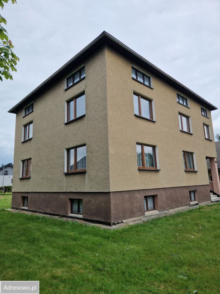
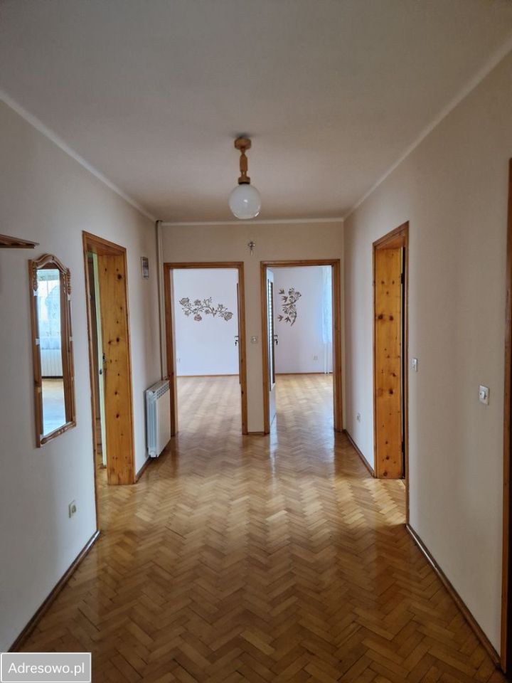
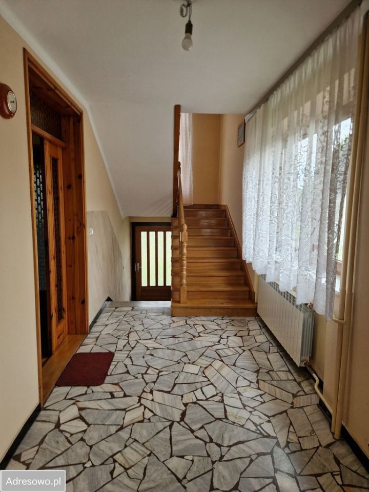
Current owner advert

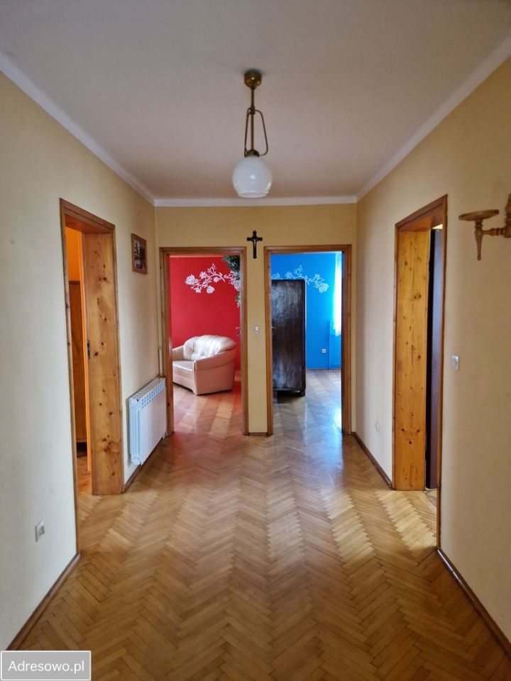
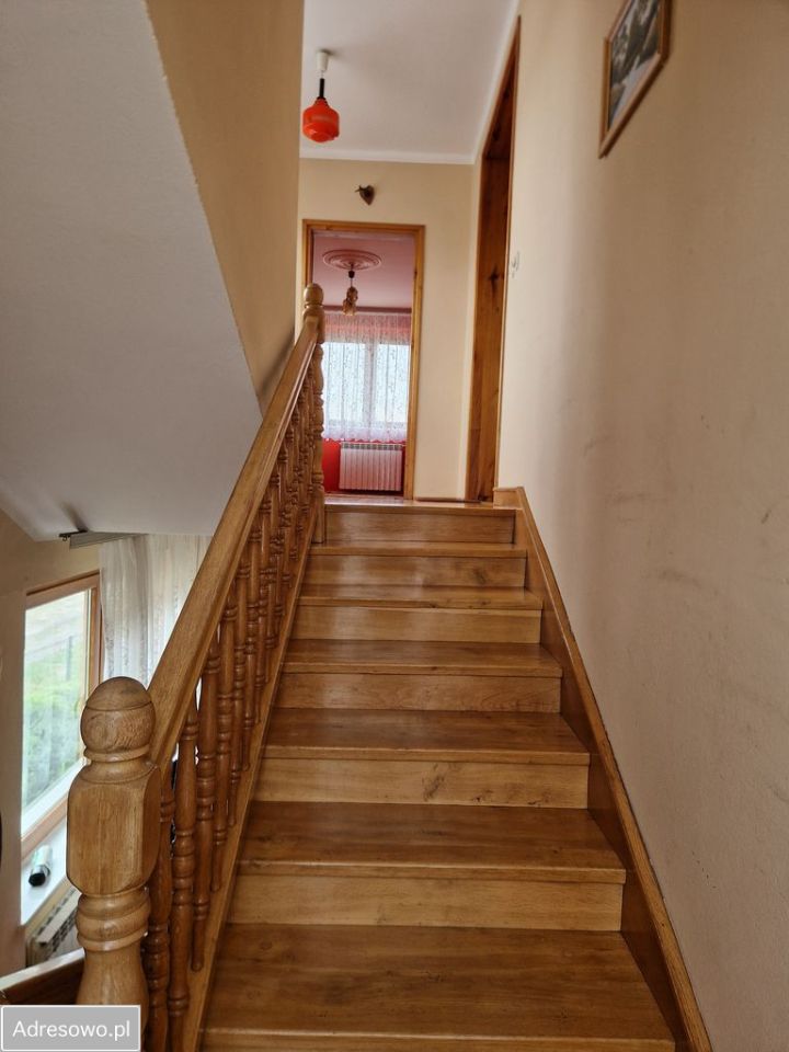
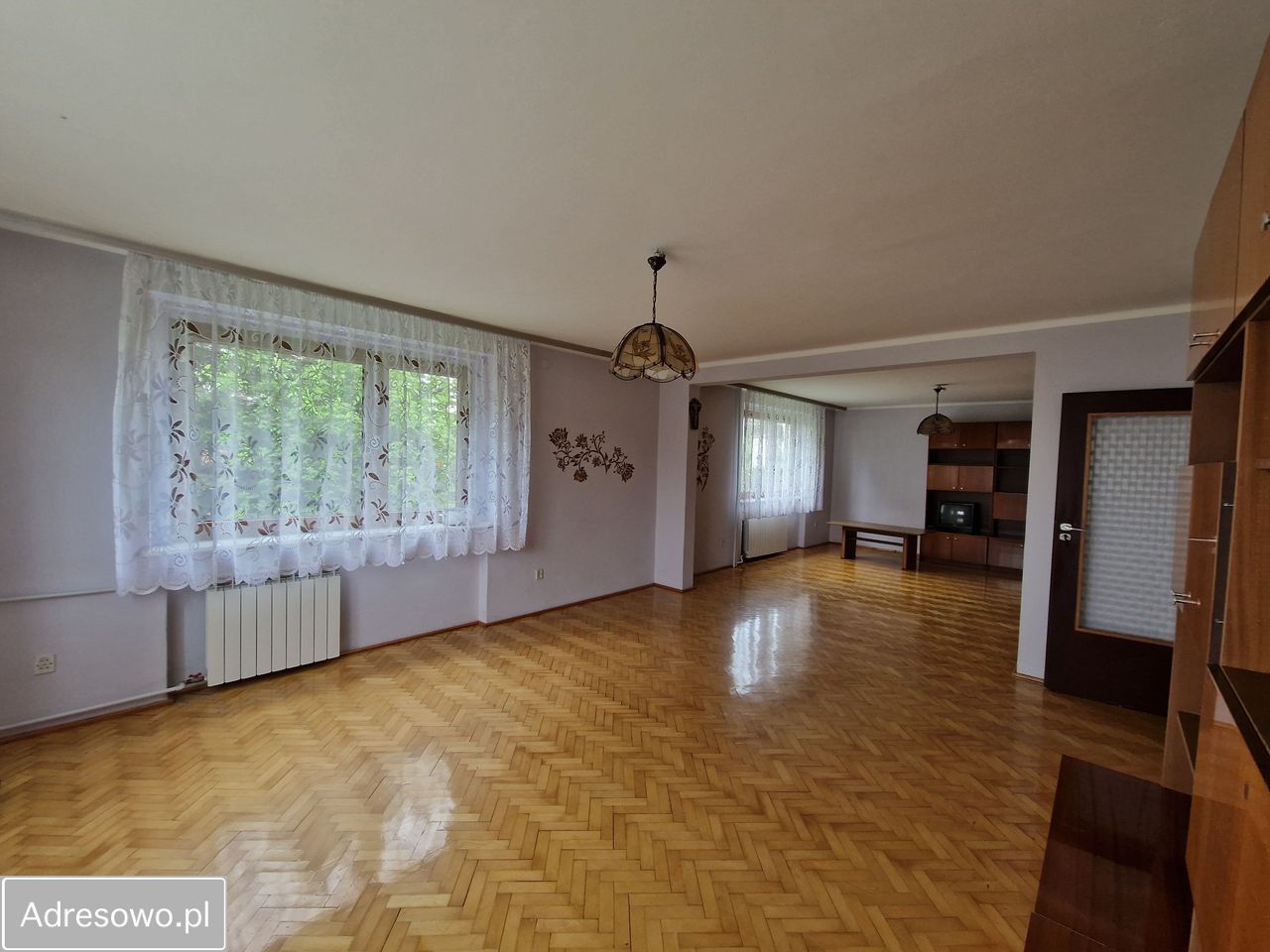
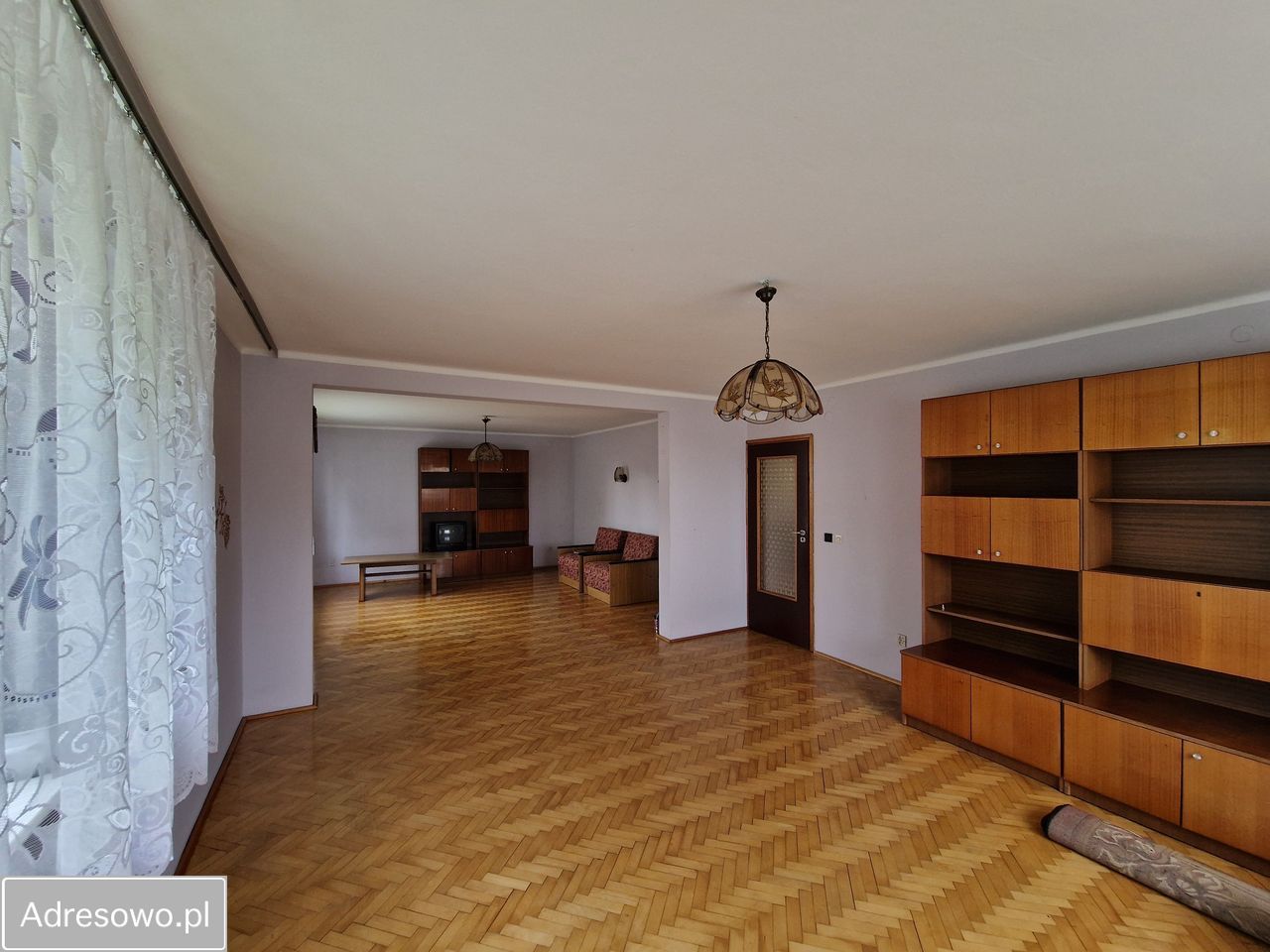
Listing photos

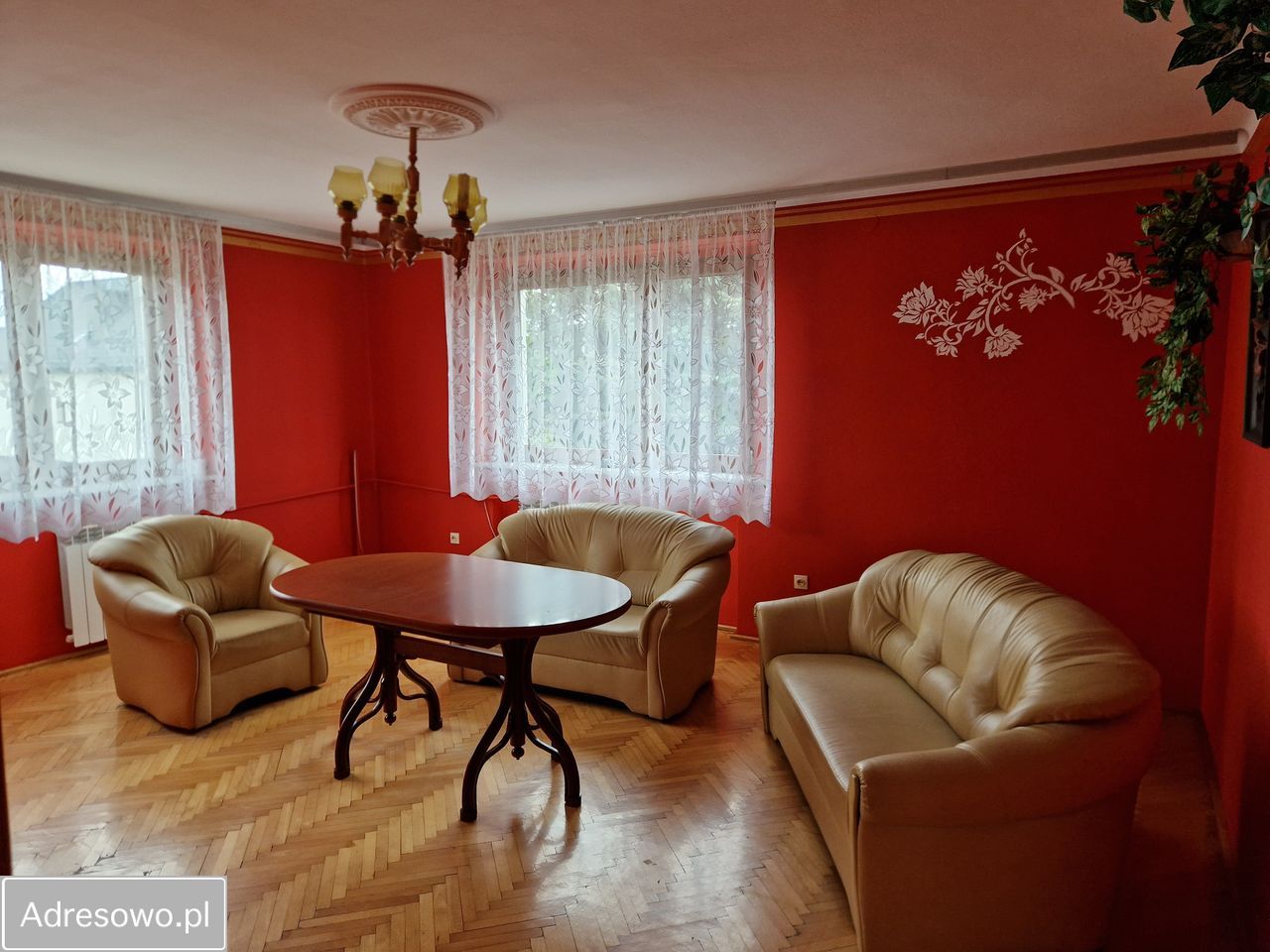
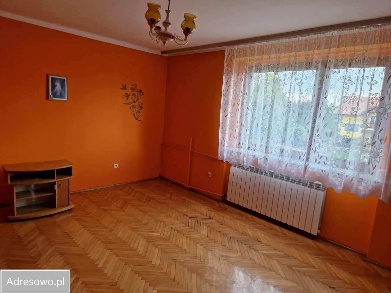
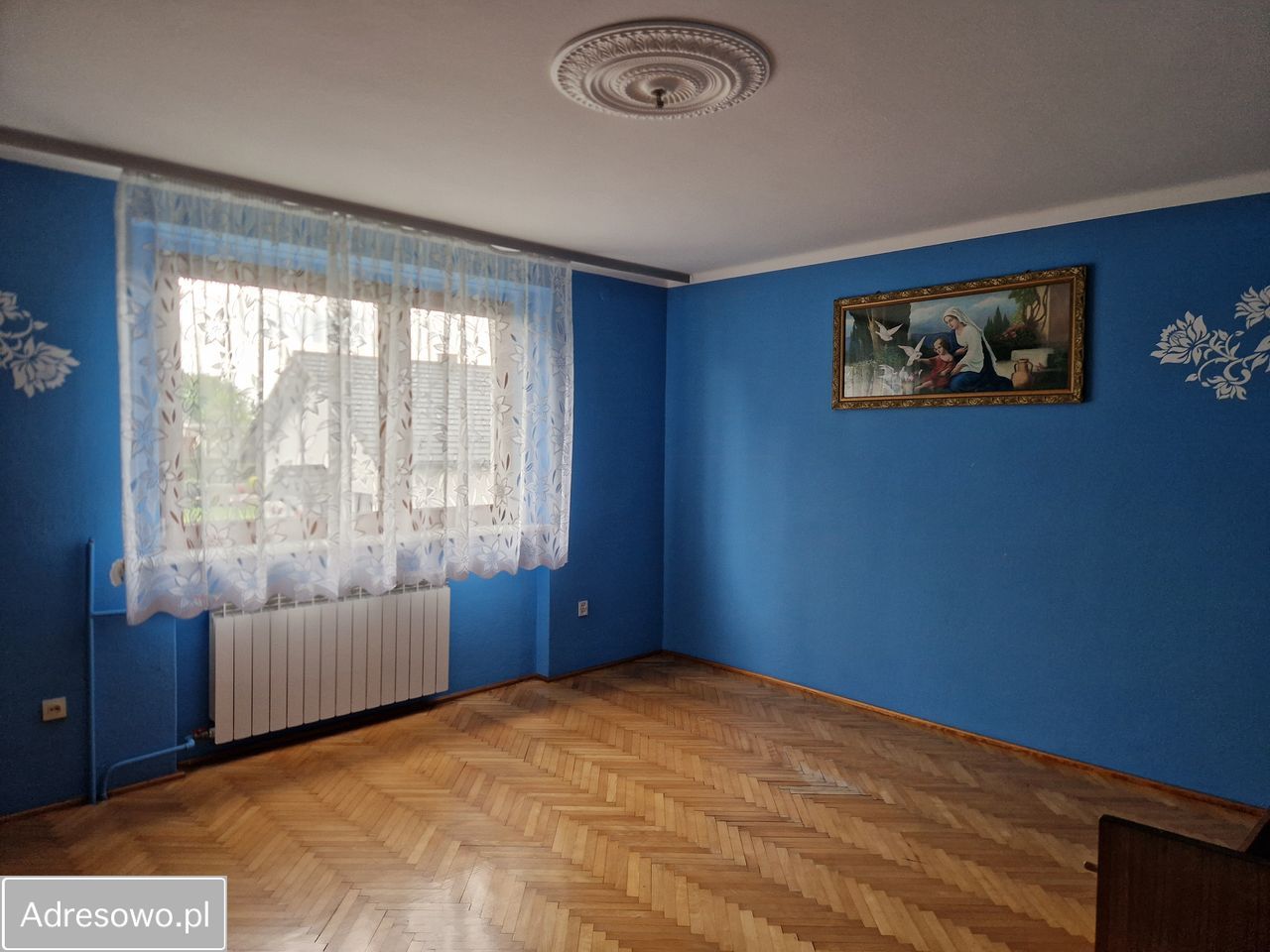
Likely match — confirm with the seller. The advert is on Jarosława Dąbrowskiego in Łąka and states a detached 222 m², 7-room house on a 1,000 m² plot. The cadastral parcel here is about 1,049 m². The public advert does not show house number 26, so the identity is not proven from the advert alone.

Open the source advert. Advert data retrieved 13 August 2026: 760,000 PLN, 222 m², 7 rooms, 1,000 m² plot, stated year 1990. Seller claims are unverified.

Fast risk scan

What we know now

Critical unknown

Ownership and debt

No KW number was supplied. Ownership, mortgages, claims and easements are not verified.

Needs official extract

Planning rules

The property is inside the 2024 Łąka stage-I MPZP. The online service did not return the parcel's exact symbol. Some parts of the plan were invalidated by the Silesian Governor.

Positive, not a guarantee

Mapped flood hazard

The MCP's current ISOK point check returned no significant mapped flood zone. This does not test local rainwater, groundwater, drainage failure or historic basement flooding.

Verify locally

Ground and mining context

The MCP mining flag is only a broad Silesian-region screen. The local plan maps documented mineral deposits and mining areas elsewhere in Łąka. It does not prove parcel 5159 is inside one. Request parcel-specific confirmation.

Physical frontage

Road access

OpenStreetMap and the parcel engine show frontage along Jarosława Dąbrowskiego and Podlaska. Dąbrowskiego is mapped as asphalt residential road; Podlaska as a dirt track. Legal public-road status and driveway approval remain unverified.

No mapped hit

Nature protection

The government-layer check returned no Natura 2000, reserve, landscape-protection or national-park hit at the point. Confirm against the full parcel if planning works are intended.

Document gate

Do not sign until these are checked

Evidence table

Checks completed

CheckResultConfidence / limit
AddressMATCHNominatim/OSM building at 49.949716, 18.9055384; address data sourced from Polish EMUiA.
Parcel5159ULDK parcel ID 241005_5.0005.5159; area ~1,049 m². Confirm with official EGiB extract.
MPZPPLAN FOUNDŁąka stage I, resolution VII/56/24 of 29 Aug 2024. Exact parcel symbol not returned; official extract required.
FloodNO POINT HITISOK/Wody Polskie map screen only; not a drainage, groundwater or history survey.
Protected natureNO POINT HITGDOŚ government WMS layers at the property point.
RoadFRONTAGEPhysical map evidence only. Legal access and approved driveway not confirmed.
KW / titleNOT CHECKEDNeeds the seller's KW number and notarial review.
Building conditionNOT CHECKEDNo inspection, photos, floor area, construction year or repair history supplied.
Advert / price760,000 PLNCurrent owner advert states 222 m², 7 rooms, 1,000 m² plot and year 1990. Likely but not proven to be number 26; all seller claims require documents.

Visit sequence

A simple 45-minute inspection

Sources

Primary links

  1. Current owner advert on Adresowo — listing photos and seller-stated details; likely match, exact number hidden.
  2. Pszczyna public spatial information system — parcel and local planning portal.
  3. Municipality: MPZP for part of Łąka, stage I — plan PDF and supervision decision.
  4. Resolution VII/56/24 and plan attachments — official municipal copy.
  5. Silesian Governor supervision decision IFIII.4131.1.81.2024 — partial invalidation of plan provisions/drawing.
  6. National Geoportal at the property.
  7. Map location.
  8. Official Electronic Land and Mortgage Register portal — requires the KW number.
  9. ISOK / Wody Polskie flood map portal.
  10. Polish Geological Institute map portal — use for parcel-specific mining/geological follow-up.

Research limit: online maps are preliminary evidence. They do not replace official extracts, a notary, a surveyor or an on-site building inspection. No seller documents or interior evidence were available.